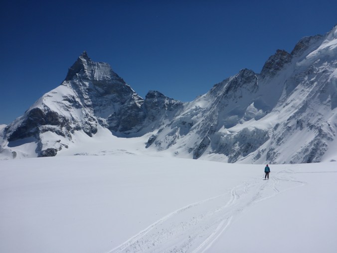
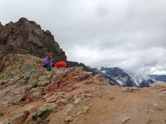
The Continental Divide from the Colorado Trail
As I finally laid my head back on my puffy coat-turned makeshift pillow, the adrenaline pumping through my body eased and was replaced by a dull fear. I said goodnight and nothing more to my tent mate knowing the fewer words I spoke, the better chance I had of hiding my unease. I got us into this. Outside the rain poured down and thunder clapped loudly in the sky leading a pack of something to begin howling and barking. There couldn’t be wolves out here, right? I’m fairly certain it wasn’t my imagination running wild. I thought about the bear bag we’d recently hastily tied to a low hanging tree. If we weren’t eaten by wolves in the night, would my organic chocolate be left unmolested by wild animals? Assuming a lack of wolves and bears, would it ever stop raining?

Columbine Lake
The “Women in the Weminuche” trip idea was hatched earlier that summer. I met Perrin my very first day of college under an elm tree waiting to embark on a five-day guided backpacking trip known as FOOT (Freshmen Outdoor Orientation Trip). I was immediately drawn to Perrin because she looked as confused as I did that day. Our friendship blossomed over a mutual love of Dawson’s Creek, dance parties, and obscure history. Fast forward 13 years, we were both suffering broken hearts and needed an escape. Perrin, who lives in DC, gave me the reins to plan. “Pick somewhere. I’ll be there.”
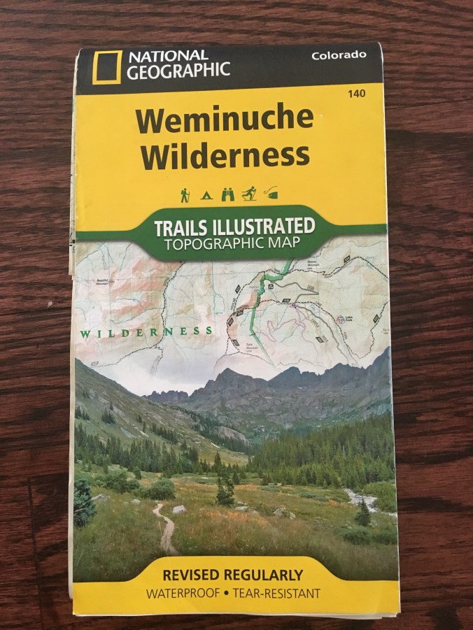
After soliciting advice from outdoorsy friends, I decided on a train supported excursion in an area of the San Juan Mountains known as the Weminuche Wilderness.
And then the realization struck me – I’d never planned a backpacking trip. I didn’t have all the gear. I felt woefully unqualified to lead this expedition. Yes, I’d been on plenty of trips but always as the sous chef of sorts. I’d relied on boyfriends, and before that, brothers to take charge. I’d show up and just start walking/skiing/biking as I was instructed. I think I knew how to set up a tent and start a fire, but I’d never been asked to do so.
My inner “rah, rah women” voice egged me on. “You can do this. Of course you can! Embrace singledom. You don’t need a guy to set up a tent.”
I spent the next few weeks pestering the old man who works the map counter at REI. I checked every backpacker.com/.net/.org gear checklist I could find and overbought on everything.
In August, Perrin arrived in Denver, and we hit the road for the seven-hour drive to Durango. As we summited Wolf Creek Pass, the raindrops began to fall. Casually via the radio, the next few days’ weather forecast became known to us: “Severe rain and thunderstorms. High chance of flash floods. Retreat to high grounds as necessary.” Hmmm. We stopped in Poncho Springs for extra tarps and ill-fitting rain pants.
I planned a route that seemed reasonable for three nights. Using my finger distance estimation on a map, it looked like roughly 40 miles. We boarded the Silverton Narrow Gauge Railroad from Durango for the second stop at Elk Park. The rain that morning was a light drizzle. I wasn’t optimistic, but we were determined to give this trip a go.
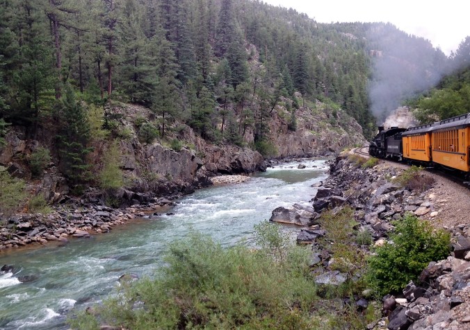
The Amimas River
Being two young women with massive packs on a train full of old Texan tourists got us a few sideways stares and concerned looks. In my mind, I responded to their gazes. “I know. I’m not sure what the hell we’re doing either.”
We departed the train and spent nearly an hour trying to find the trailhead. Once found, we hiked along the Colorado Trail until late afternoon when black clouds crept across the sky warning us to find a campsite soon.
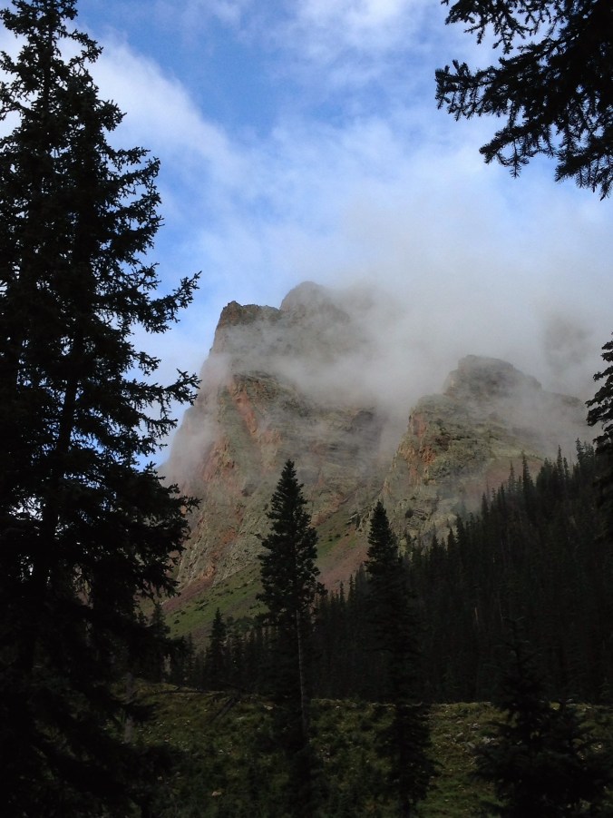
The clouds lingered after the rain passed
Despite the rain, thunder, and howling animals, we survived that first night. The next morning, the rain tapered off as we made coffee under our tarp. I untied the bear bag to find all our food untouched. Our spirits rose with the sun, and we set off ready to continue the adventure with gusto.

Lots of rain = lots of mushrooms
Our four days of trail talks centered around the challenges of dating in the modern world. Perrin had recently broken up with her boyfriend of seven years when he started his first year of med school and decided he needed to embark on the adventure alone. Prior to their breakup, Perrin had moved across the country to support his doctor/educational aspirations. I’d just wrapped up two unsuccessful years of trying to convince my man that there was more to life than investment banking in New York and making a life with a great lady (me) in a smaller city was a good life choice.
As the miles ticked on, Perrin and I transitioned from reminiscing about the wonderful times in our previous love lives to how we would have done it differently. Dating is hard. I often wonder if dating was easier back in my parents’ generation and earlier when you married your high school/college sweetheart and started planning a life together much earlier. Honestly, it’s a very short wonder because, honestly, I wouldn’t trade my twenties for anything. I’m thankful I had time to grow into me, kiss lots of handsome frogs, travel the world, and establish a career.

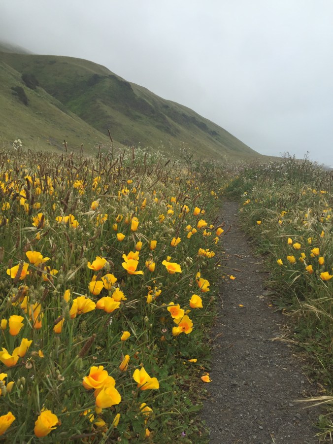
Just a few of the wildflowers – pictures never capture them quite right
Looking down into Chicago Basin
The Weminuche did not disappoint with its beauty. Fortunately for us, it didn’t rain the entire time – maybe only 40% of the time. Thanks to the rain, even in August, the area is so green it almost doesn’t feel like Colorado. We crested numerous passes and descended into stunning valleys and basins. One morning, I woke up to a moose rummaging near our tent. The next morning, the all night rainstorm turned to a blanket of fresh snow (yes, it was August).
Hours on the trail with Perrin lightened my soul. We laughed as only best friends can. She told me about a girlfriend who keeps a detailed Excel spreadsheet of her online dates. While we vowed not to take our romantic lives to that extreme, business-like precision, we both promised to get out there more. I left my sadness in the Weminuche and took with me sore abs from laughing and a newfound optimism.
Four days full of trail talks later, we boarded the train at Needle Creek to head back to Durango. We were elated to learn that the train served hot toddies. I’m not sure powdered cocoa mix with a small splash of booze has ever tasted so good.
A few weeks after getting home, I ran into the friend who recommended the Weminuche trip. He’s a big outdoorsman with quite the resume of Colorado summits.
“Thanks for the suggestion on the trip. Despite some rain, I’m glad we went. The Weminuche is one of the most beautiful places in Colorado,” I said.
He laughed, “Oh, I think I left out the part where we only camped one night and hiked out to the road and hitchhiked home. It never stopped raining. It was miserable.”
I smiled. I felt victorious.
Trip Tips:
- Trip length: ~40 miles, 4 days and 3 nights. If I did it again, I might take another night to explore a bit more around Hunchback Pass. The area can be accessed without the train from Hwy 550 but doing so adds quite a bit of distance.
- Route: From the Elk Creek Trailhead head west on the Colorado Trail toward the Continental Divide Trail. Head south on the Continental Divide Trail over Hunchback Pass to Vallecito Trail. Head south on Vallecito Trail to the junction with Johnson Creek Trail. Hike along Johnson Creek Trail into Vallecito Basin and finally, Chicago Basin. Follow the Need Creek Trail back to the Needed Creek Trail head.
- While there are no designated campsites, it’s easy to identify where others previously established camps. Water is available along the entire route.
- Don’t just go to this area for Chicago Basin! It’s like going to NYC and only seeing Times Square. It’s spectacular, but it’s crowded and there are cooler things out there.
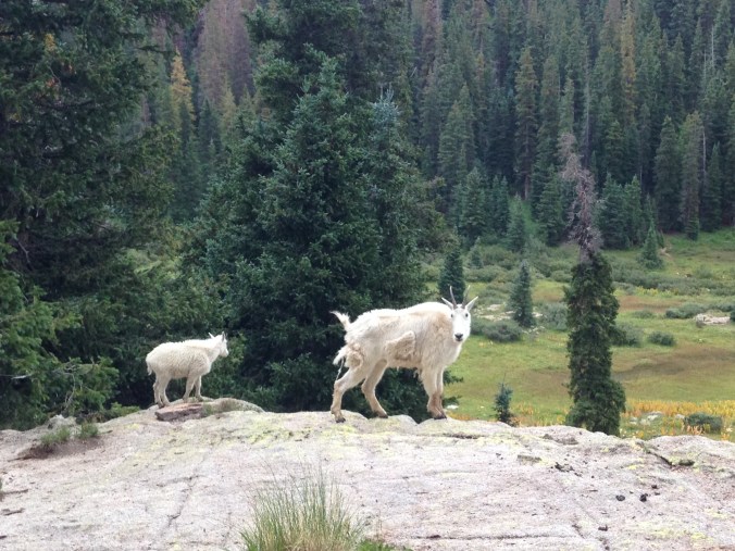
- In Chicago Basin, pee on the rocks and not in the foliage. Wild goats like the acid in urine and will try to lick your pee. The goats are more likely to leave you alone if it’s on rocks.
- Turns out, I wasn’t crazy. While I’m not sure if there are wolves in the Weminuche, there are big sheep dogs that guard their flocks all night long.